WATER
SEA LEVEL RISE
Sea level rise is not a far-off problem for future generations to worry about. It’s already happening. The boundary between land and water is changing, with serious consequences for people living on the coasts. During severe storms, rising seas provide more water to act as a battering ram when wind and tides drive waves toward land, a phenomenon known as “storm surge.”
Every story about sea level rise, or “SLR,” starts with ice. Freezing and melting are a natural part of the water cycle. But by heating the air, people have altered the cycle in two important ways:
1) At most of the world’s glaciers outside East Antarctica, more ice is melting than in previous centuries. That meltwater eventually finds its way to the ocean, raising global sea level.
2) When water heats up, it expands. Roughly half of global SLR is due to the thermal expansion of water—not just the runoff from melting ice on land.
Melting glaciers and the shrinking Greenland and West Antarctic ice sheets are causing an average global SLR of one-eighth of an inch per year. By 2100, the Intergovernmental Panel on Climate Change expects seas to rise between one and three feet if glaciers and ice sheets maintain their current rate of ice loss. That increase in water is more than enough to inundate parts of many towns and cities along the East Coast of the U.S.
Glaciologists also see acute signs of ice sheet instability in West Antarctica. As a consequence, some ice experts predict a very real possibility that SLR of much more than three feet could happen in decades to come.
SUPERSTORMS AND FRESHWATER FLOODING
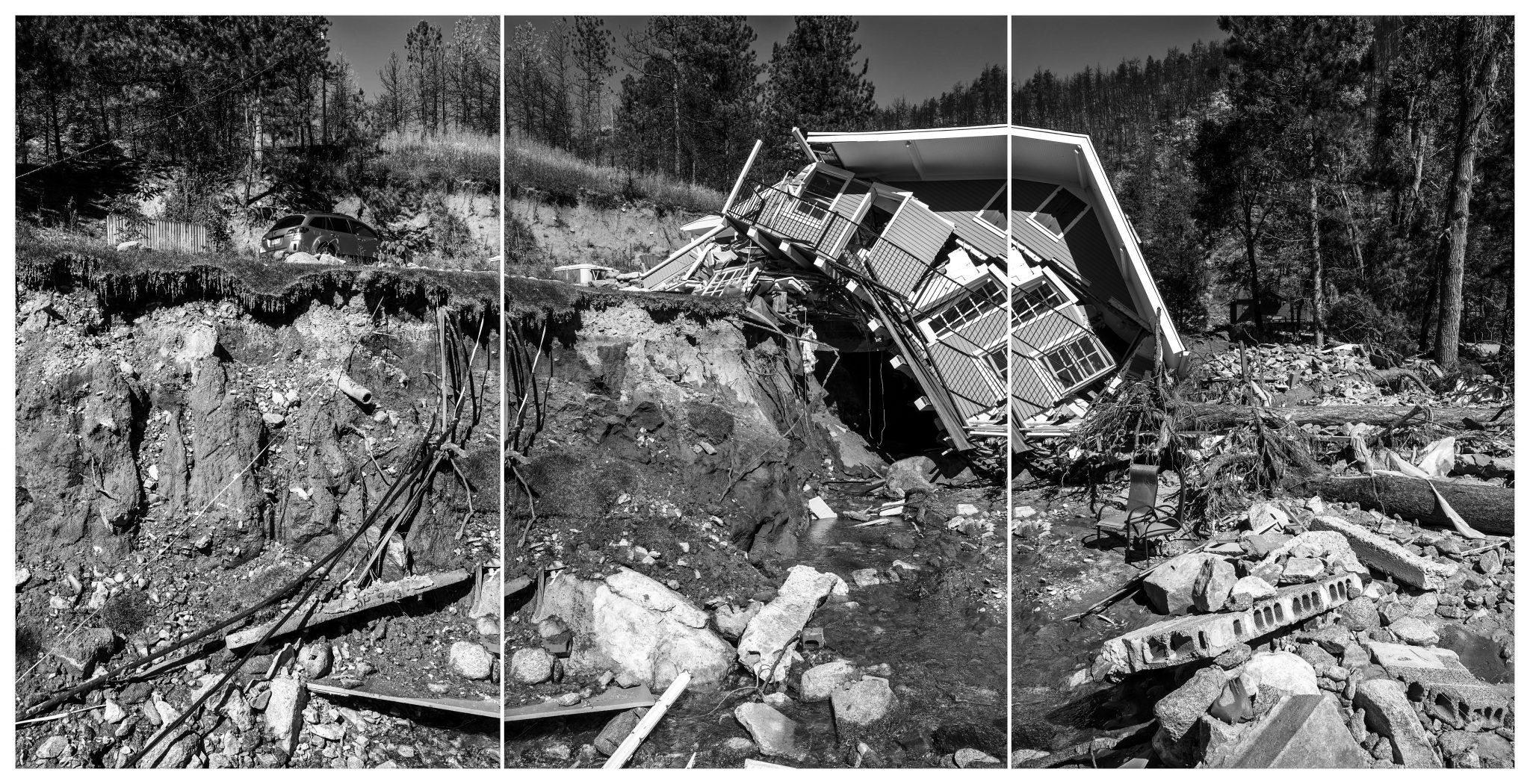
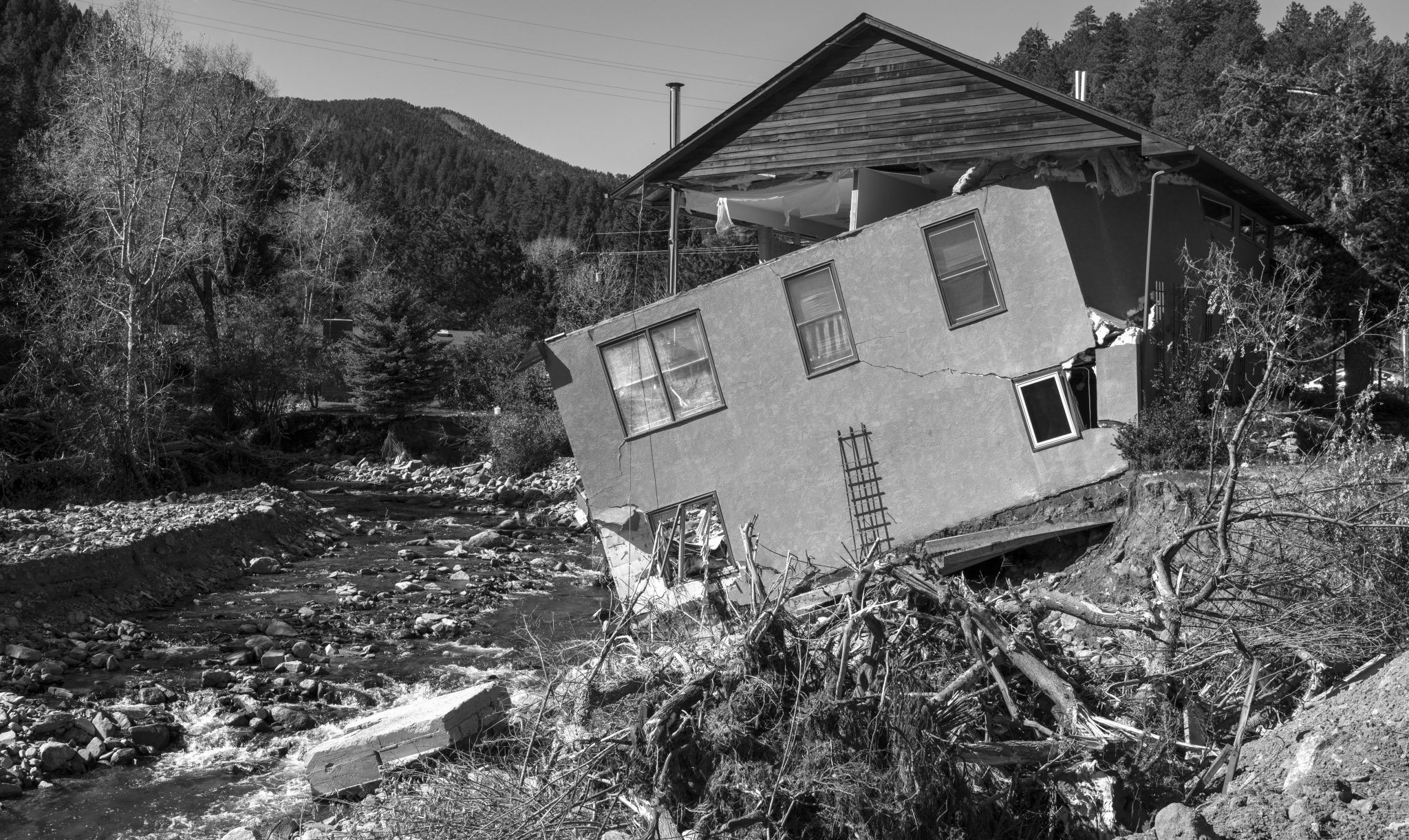
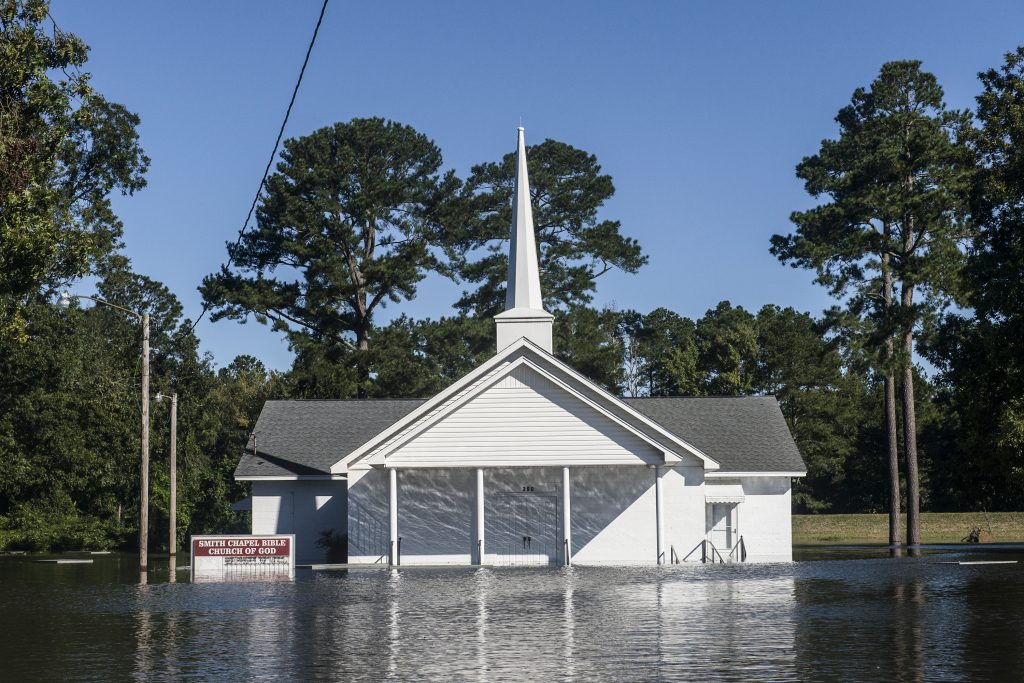
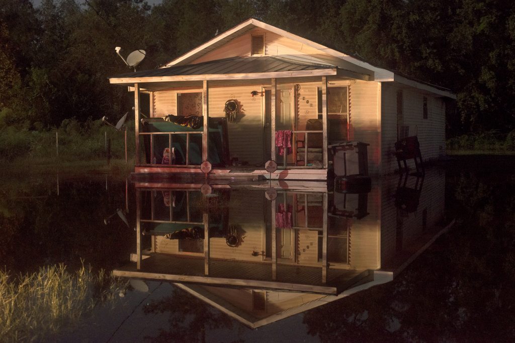
Surges of seawater during big storms aren’t the only problem. A warmer climate causes more evaporation from land and oceans. That evaporated moisture ultimately condenses and falls back to Earth as rain. The consequences can be catastrophic. In some parts of the world, climate-enhanced downpours are already leading to unprecedented flooding. When combined with storm surges, many coastal communities from the Gulf Coast to New England face a very big problem.
Hurricane Harvey made landfall in Texas on August 26, 2017, dumping more than 60 inches of rain around Houston in eight days. It was the second costliest natural disaster in United States history at $125 billion. A month later, Hurricane Maria in Puerto Rico nabbed third place. But neither of these hurricanes was entirely natural.
According to scientists, both hurricanes went through a “rapid intensification cycle,” meaning that the strongest winds within the storm sped up significantly just before making landfall. A 2018 study found that these intensification cycles increased between 1986 and 2015 as a consequence of warming sea surface temperatures. If greenhouse-gas emissions stay at their current level, super-intense hurricanes can be expected to occur every five to 10 years by 2100.

THE NAVY, SUBMERGED
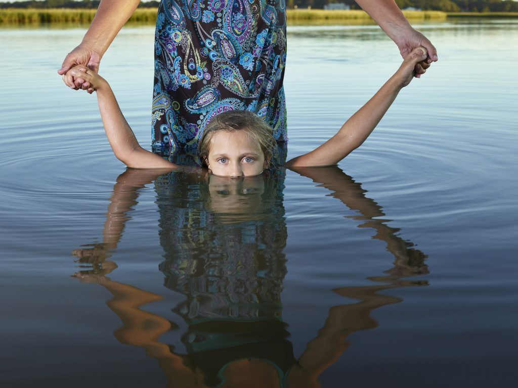
In recent years, scientists have documented a sharp increase in what’s known as “nuisance flooding.”
Even on calm, sunny days, communities around Chesapeake Bay can flood when the tide comes in. Norfolk and Virginia Beach, Virginia, which together have a combined population of 700,000, sit less than 15 feet above sea level. Local sea level has risen by a foot and a half in the past 100 years, and a storm surge during a relatively modest category-3 hurricane could flood the entire city.
The largest U.S. Navy base in the world is located in Norfolk. The multi-billion-dollar facility, which cannot be easily re-situated, is home port for nearly 70 ships. Captain Dean Vanderley, commanding officer of naval command engineering in Norfolk, explained in THE HUMAN ELEMENT, “If sea level were to rise as is projected, to the degree that we can no longer operate here, that would be a significant impact to national security.”
TANGIER TAKE-OVER
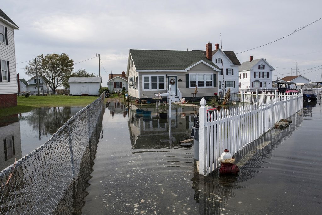
In Chesapeake Bay, 70 miles northeast of Norfolk, lies Tangier Island. The low-lying coastal island is comprised of sandy ridges, tidal streams, and marshes. It’s one of the communities in the United States most vulnerable to sea level rise.
Over the past 400 years, more than 500 islands have disappeared from Chesapeake Bay—40 of which were once inhabited. Tangier is in line to be next. Rising waters continuously erode the island’s sand, silt, and peat, tearing the island apart: every year, nine acres of Tangier erode into the bay. In a 2015 study, U.S. Army Corps of Engineers marine biologist David Schulte concluded the island has only 25 to 50 years left before the sea claims it. More recent studies have indicated that it might disappear twice that fast.
Will the federal government pay the $100 million-plus it will take to save the island and its 700 residents? Homeowners on Tangier may become some of the first climate change refugees in the U.S. As Carol Pruitt-Moore, part of a multi-generational Tangier clan, puts it, “We’re just one storm away from becoming part of history.”
THE COST OF SAVING DROWNING CITIES
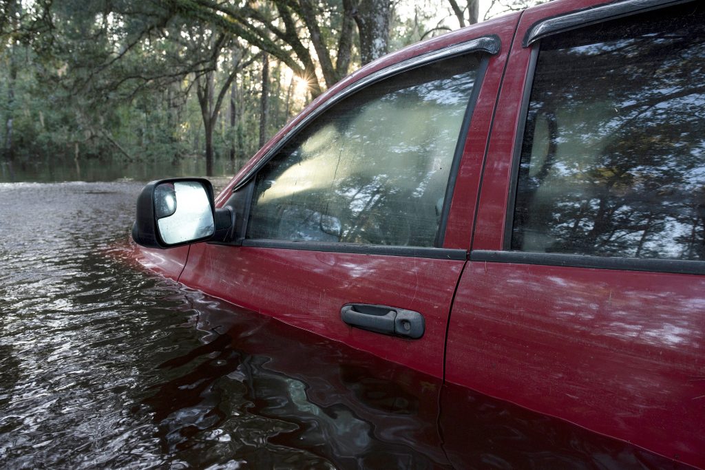
Forty percent of Americans live in vulnerable coastal areas. Without rapid government intervention, severe storms may soon make some beachside communities uninhabitable—or wash them entirely away. But, in an aquatic version of the wildland-urban interface issue that affects fire-prone communities in the American West, people are still building their homes in locations terribly vulnerable to storms and floods.
Storm and flood damage along coastlines and stream drainages may seem a world away from many Americans. Yet these problems touch the pocketbooks of everyone who buys homeowners or renters insurance—not to mention everyone who pays federal taxes. Homeowners pay higher insurance premiums because insurance companies need to cover damages from flooding and storms. Federal taxes cover the Federal Emergency Management Agency budget, enabling it to provide billions in financial support in disaster-prone areas.
RISING SEAS AROUND THE WORLD
Of course, sea level rise isn’t just a problem in the waters surrounding the U.S. On planet Earth, we have a world ocean: the Atlantic, Pacific, Arctic, Indian, and Southern oceans are all connected.
Many low-lying island nations scattered throughout the South Pacific are particularly vulnerable to rising seas. The Marshall Islands, Kiribati, Tuvalu, Tonga, Micronesia, the Cook Islands, Antigua, Nevis and the Maldives will lose much or all of their dry land by the end of the century. When they do, a huge wave of climate refugees will be forced to migrate elsewhere.
QUICK FACTS
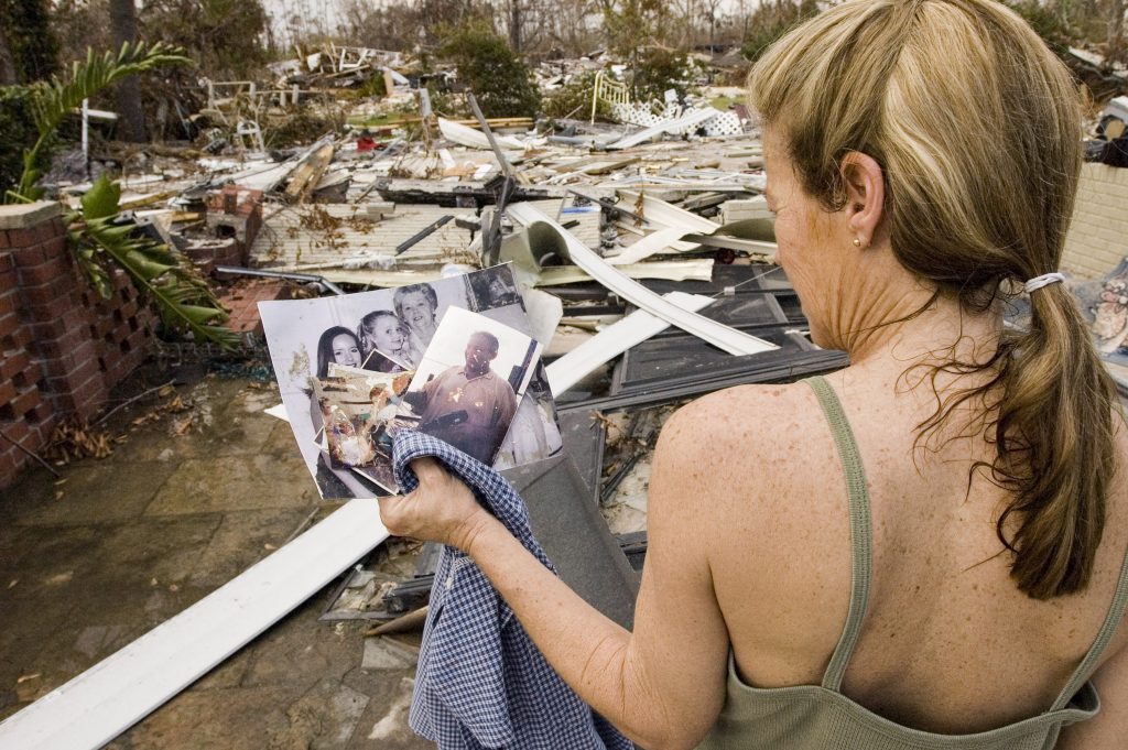
- In 2017, hurricanes cost the United States more than $300 billion.
- In 2005, the storm surge from Hurricane Katrina reached heights of 28 feet above normal tide level along the Mississippi coast and 20 feet along the Louisiana coast. 1,500 people lost their lives.
- In 2016, Hurricane Matthew dumped 13.6 trillion gallons on the southeastern seaboard. In 2018, Hurricane Florence hammered North Carolina with 8 trillion gallons more.
- In 2018, Hurricane Michael destroyed much of Mexico Beach, Florida.
- 13 million Americans could be displaced by rising seas by 2100.
- Worldwide, two billion people could be displaced by sea level rise by 2100.
